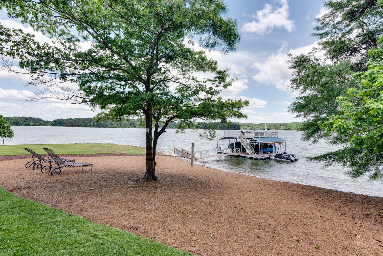
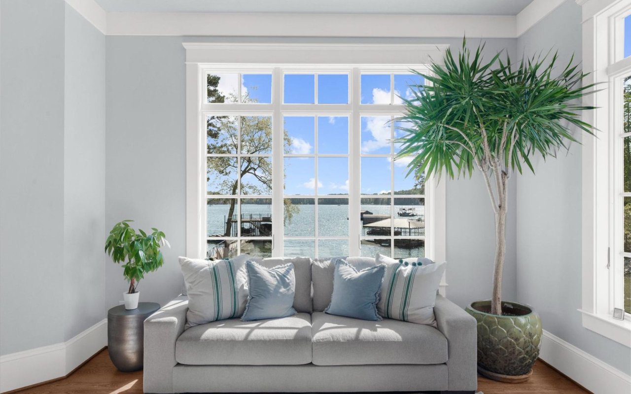
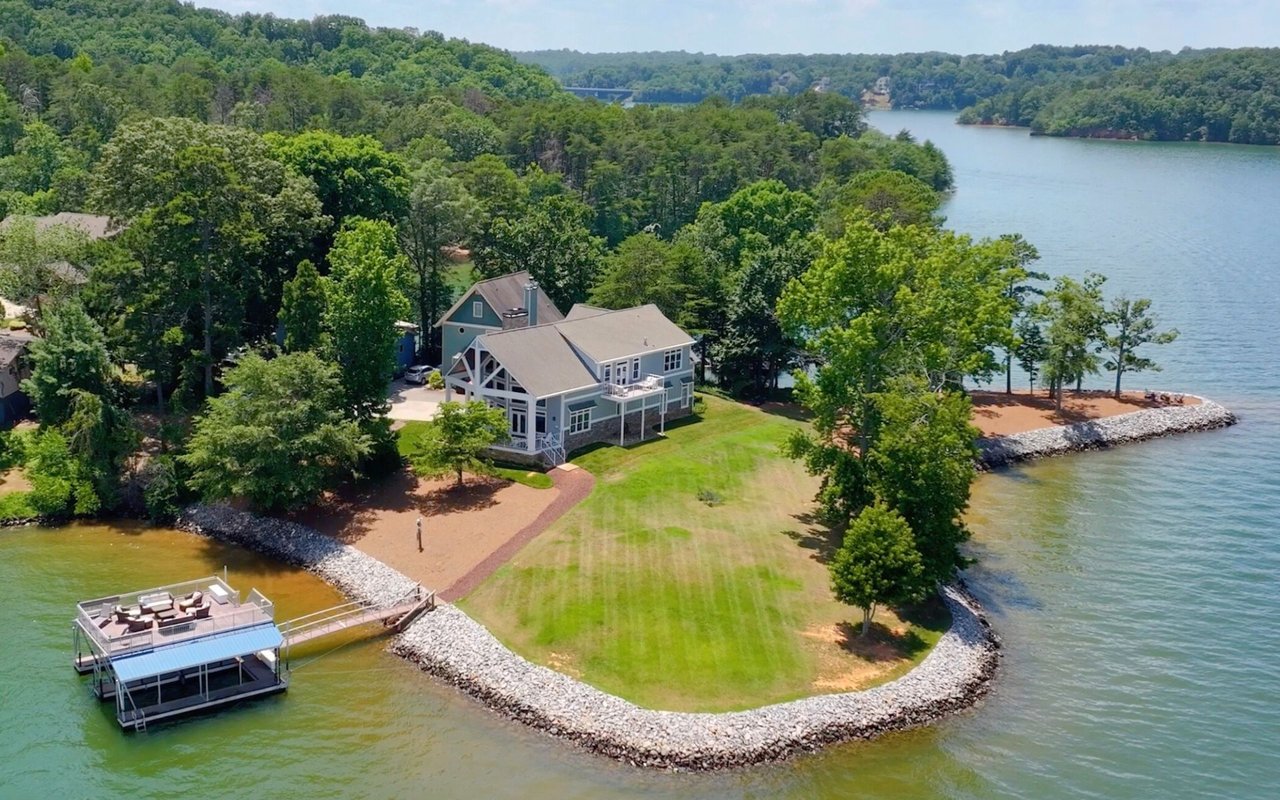
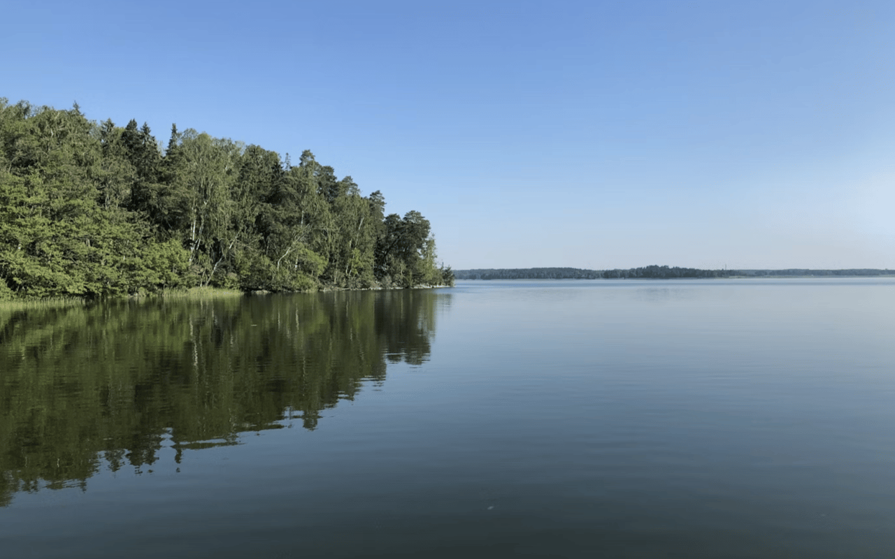
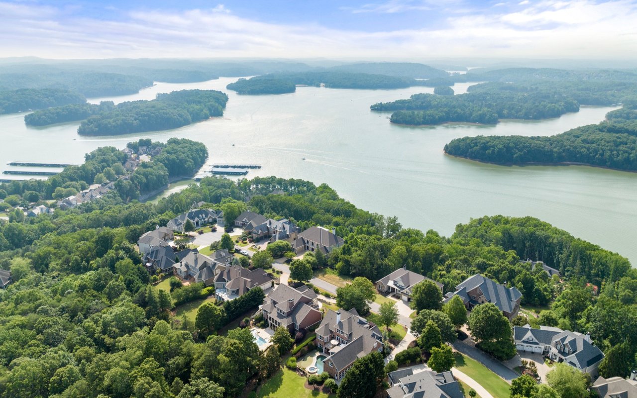
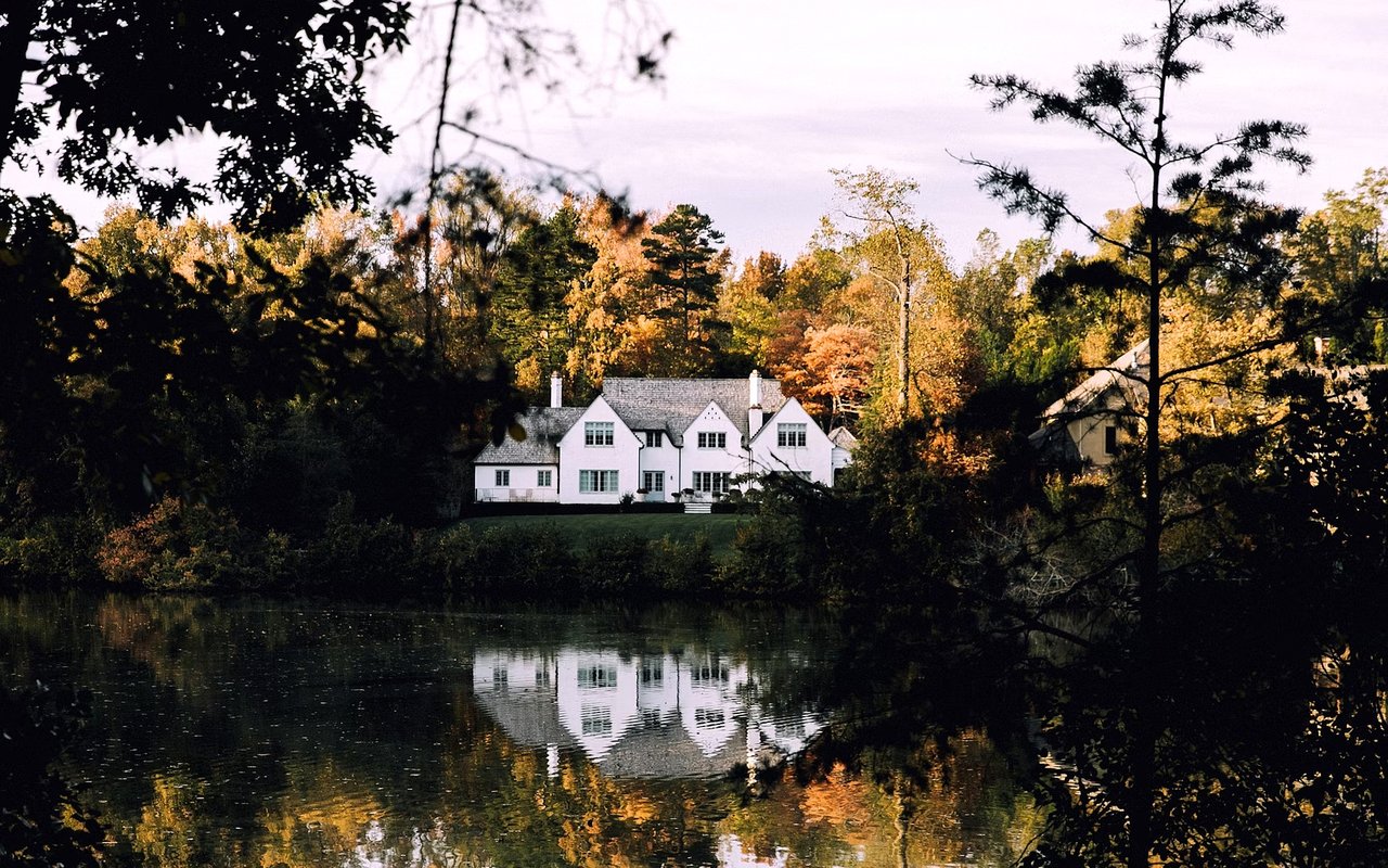
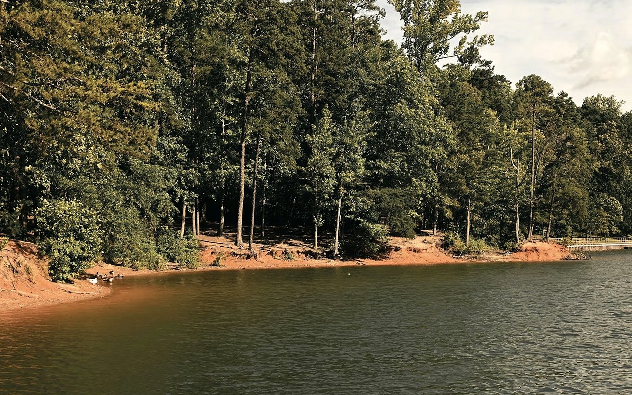
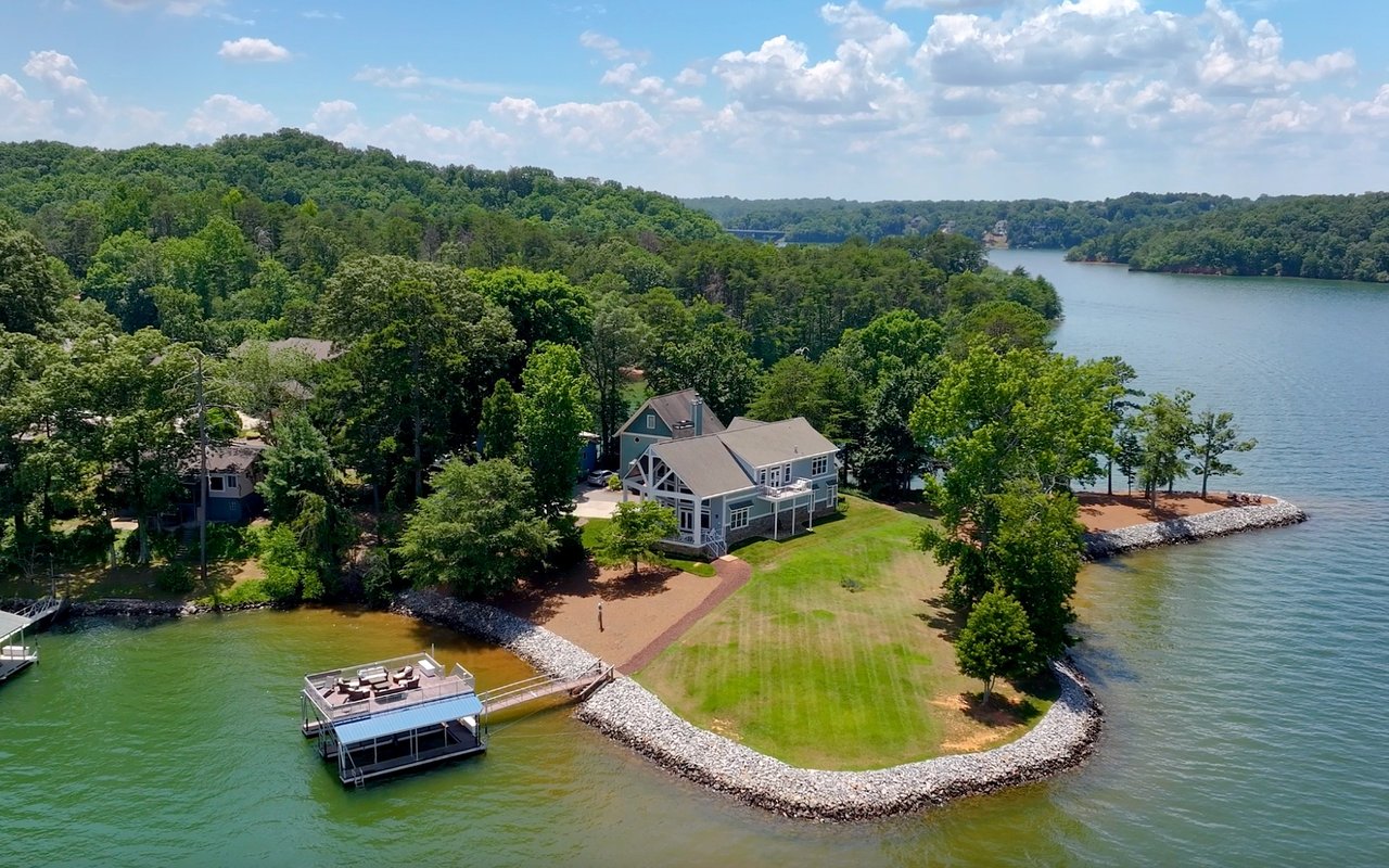
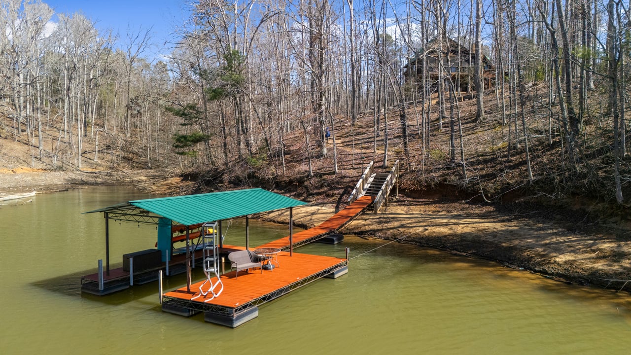
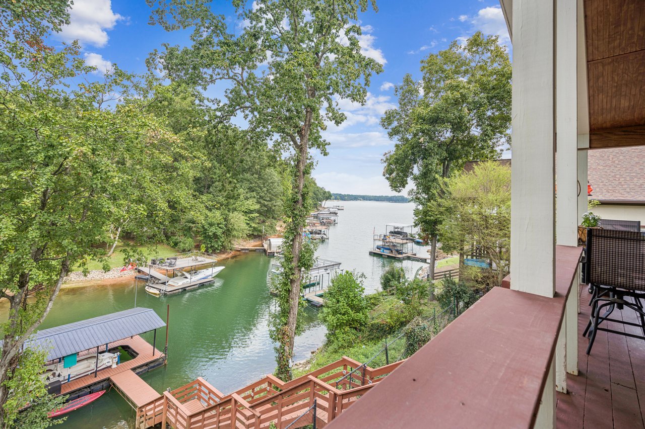
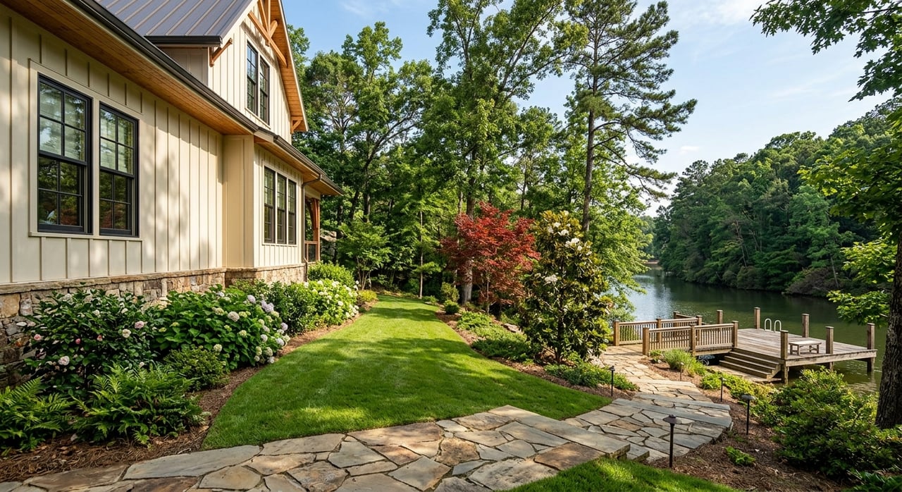
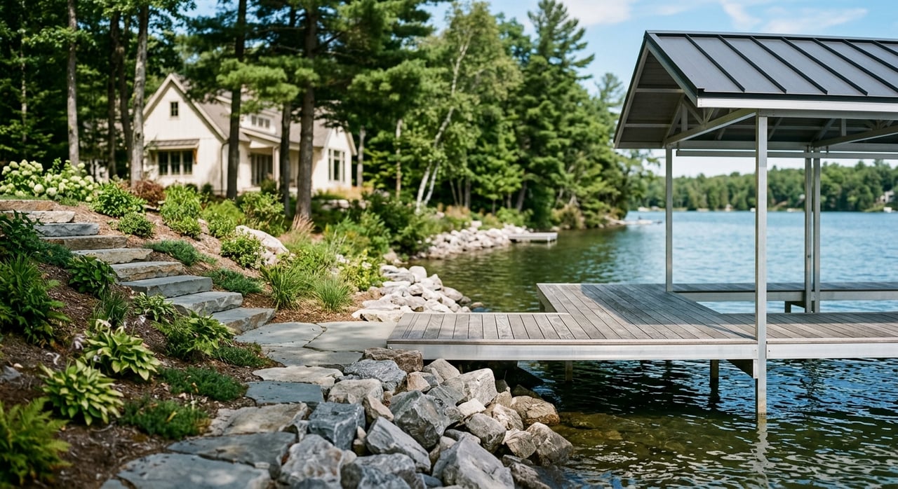
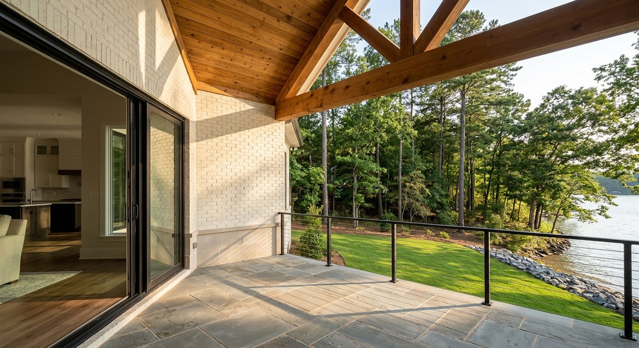
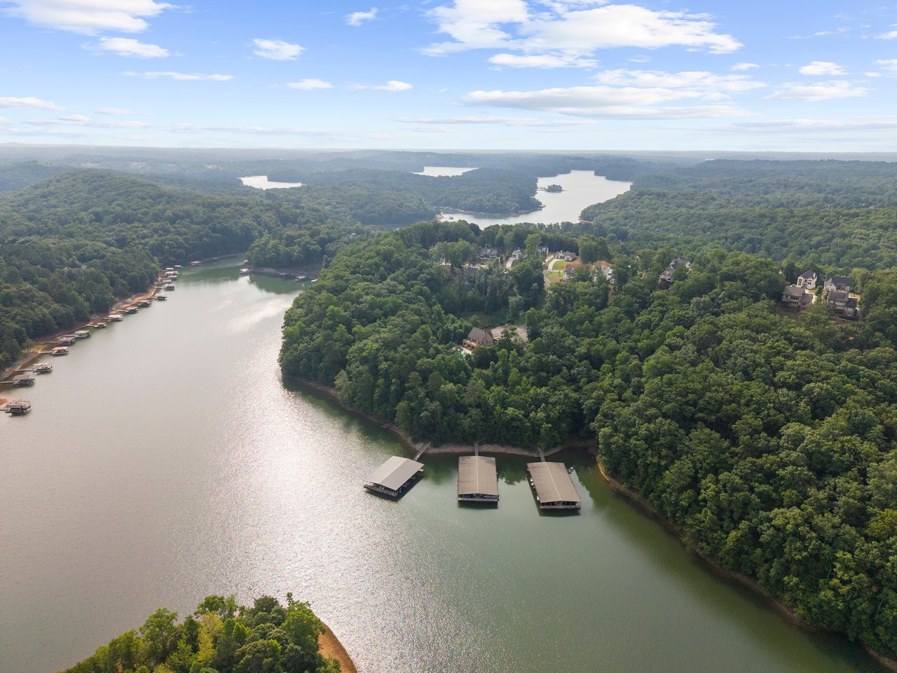
A buyer touring a home on the Chestatee arm this week will see a dock that looks fine. Water lapping the low step, a clean line to open water, nothing that would make anyone pause. A buyer touring a comparable listing tucked into the back of a shallow finger creek the same afternoon might find a dock standing several feet from the waterline, connected to the lake by a stretch of exposed mud.
Both homes are on the same body of water. Both listings will say the same thing: Lake Lanier, roughly five feet below full pool. That number is true in both places. It just doesn't mean the same thing in both places, and most buyers never find out why until they're standing on the dock.
The Lake Runs on a Schedule, Not on Vibes
Lake Lanier isn't managed like a neighborhood pond that fills when it rains and sits there. It's a reservoir the U.S. Army Corps of Engineers operates behind Buford Dam, and the Corps runs it on a set annual cycle tied to flood control, hydropower generation, and downstream water supply for the Chattahoochee River basin. Recreation is on that list of priorities. It's not at the top of it.
That cycle has a rhythm most residents eventually learn by feel even if they've never read a Corps manual. From November through February, the Corps gradually lowers the lake to open up flood storage capacity for winter and spring rain, typically drawing levels down to somewhere around 1,060 to 1,065 feet. Spring rains refill the reservoir, with a target of hitting full pool, 1,071 feet above mean sea level, by June 1 for the start of the summer recreation season. Through the summer the Corps tries to hold the lake near that mark. Then, by September, the cycle turns over again as the Corps starts prepping capacity for the next round of winter inflows.
That last part matters for anyone touring homes right now. Early September isn't a random moment to check the lake level. It's the hinge point in the annual cycle, the week the number stops holding steady and starts sliding toward winter pool.
Where the Lake Actually Sits This Week
As of early September 2026, live gauge readings pulled from the same USGS station at Buford Dam put the lake somewhere between about four and a half and five and a half feet below the 1,071-foot full pool mark, depending on the exact hour you check. One widely used tracker had the lake at 1,065.36 feet, 5.64 feet below full pool, and noted that reading sits roughly four feet under the recent average for this point in the calendar. The U.S. Drought Monitor had already flagged the region as abnormally dry with minor drought conditions developing as of early August, which lines up with a lake that's running below its typical seasonal pace rather than sitting at a normal late-summer dip.
Five feet doesn't sound dramatic against a lake that's 160 feet deep at Buford Dam. It isn't, on the main body. The trouble starts the farther you get from the main channel.
Same Five Feet, Four Different Docks
Boaters who spend real time on Lanier already know this instinctively: the main lake can feel completely normal while a cove two turns off the channel feels like a different lake entirely. Places like Balus Creek, Six Mile Creek, Two Mile Creek, and the Young Deer Creek arm all behave differently at five feet down, because a shallow, narrow finger creek loses usable depth much faster than open water does. The same five-foot deficit that barely touches a dock on the main channel can leave a dock in the back of one of these coves sitting well above the waterline.
Here's the honest way to think about what a given deficit means, cove to cove:
| Location type | What "5 feet down" typically looks like |
|---|---|
| Main channel, deep water | Minimal visible change, docks stay floating and functional |
| Mid-lake cove, moderate depth | Some exposed shoreline, dock still usable but launch angle steepens |
| Back of a shallow finger creek | Dock may sit on mud or dry ground, boat access becomes seasonal |
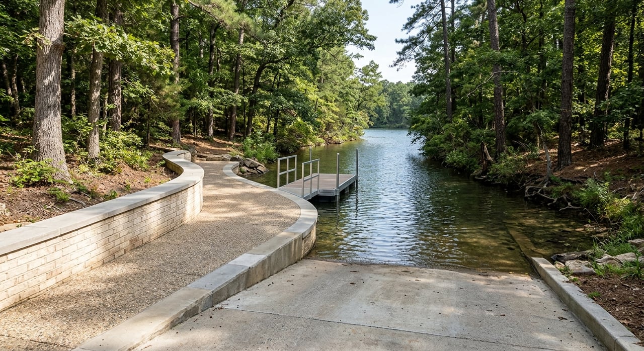
| Public ramp in a shallow arm | Ramp can become partially or fully unusable at low water |
This is the piece a listing photo can't show you and a median price can't tell you. Two homes with identical square footage, identical dock permits on file, and identical asking prices can deliver completely different lake experiences depending on which of these categories their cove falls into.
How Bad Is Five Feet, Historically?
Context helps here, because five feet down can sound alarming if you don't know the range the lake actually operates in. The record low came in December 2007, when the lake fell to 1,050.79 feet, about 20 feet below full pool, during a severe regional drought. The record high came in April 1964, when the lake rose to 1,077.2 feet, about 6 feet above full pool. Everything the lake has done since sits somewhere between those two points.
Five feet down puts the current level solidly in the "normal seasonal range, running a bit drier than average" category rather than anywhere close to crisis territory. It's not a reason to panic about buying on the lake this fall. It's a reason to ask a more specific question than most buyers think to ask.
What to Actually Check Before You Fall for a Dock
Every waterfront listing on Lanier will show you a dock. Almost none of them will tell you how that dock behaves at winter pool, which is the water level you'll actually be looking at for a third of the year. Before you get attached to a specific property, it's worth finding out:
Which arm and cove the property sits on, and whether that arm is known for holding depth or losing it fast in shallow stretches. Whether the dock has ever needed a gangway extension or gets reset seasonally, which is often a quiet signal that the owner has already dealt with a low-water problem. And what the property's dock permit actually authorizes with the Corps, since permitted dock footprints and slip depths are public record and worth pulling before you write an offer, not after.
None of this shows up in a standard listing. It shows up when someone who actually knows the lake walks the shoreline with you, ideally at a time of year when the water isn't sitting at full pool masking the real story.
A Few Questions Worth Asking Directly
Is Lake Lanier in a drought right now? The lake is running below its recent seasonal average and the surrounding basin has been flagged as abnormally dry with minor drought conditions developing as of early August 2026. That's a real but moderate condition, not the kind of severe drought that produced the 2007 record low.
Will the water level keep dropping through fall? Based on the Corps' typical annual operating pattern, yes. September is roughly when the lake shifts from holding near summer pool to beginning its gradual move toward winter pool, which usually lands somewhere in the 1,060 to 1,065 foot range by later in the season.
Does a lower lake level affect home value? Not directly and not lake-wide. It affects usability at specific docks in specific coves, which is exactly why the same square footage and the same asking price can represent very different day-to-day experiences depending on where the property sits.
The Number That Actually Matters Is Yours, Not the Lake's
The lake-wide elevation reading is useful context. It is not the number that determines whether a specific home works for how you actually want to live on the water. That number lives at the end of one specific dock, in one specific cove, and it takes someone who's spent real time walking Lanier's shoreline to read it correctly before you're the one who owns it.
That's the kind of groundwork Living on Lake Lanier does before a buyer ever writes an offer, whether that means checking a dock's permit history, walking a cove at low water, or showing a property by boat so you see exactly what the lake looks like from the water side, not just the listing photos. If you're comparing waterfront homes and want to know what a specific dock is really going to look like in December, Let's Connect.