Lake Lanier Outdoor Recreation Guide
Hiking Around Lake Lanier: Southern Trails, Don Carter & Gainesville Preserves
By Teresa Smith, Living on Lake Lanier. Explore Lake Lanier's 692 miles of shoreline trails, including Laurel Ridge at Buford Dam, Don Carter State Park, and Gainesville urban nature preserves.
Hiking around Lake Lanier spans over 690 miles of shoreline across Buford Dam, Gainesville, and Don Carter State Park. Key trails include the 3.8-mile Laurel Ridge Loop at Buford Dam, ADA-accessible paved paths at Don Carter, and the Linwood Nature Preserve in Gainesville as of 2026.
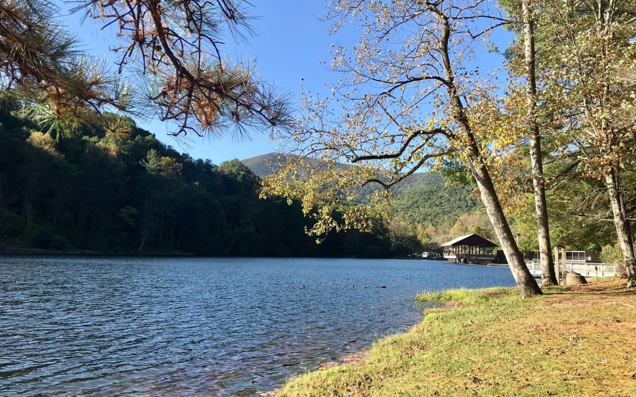
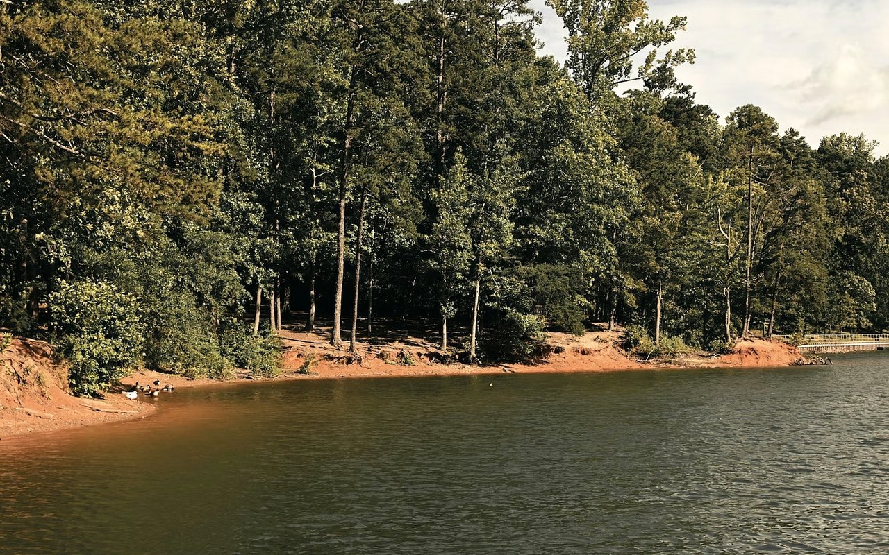
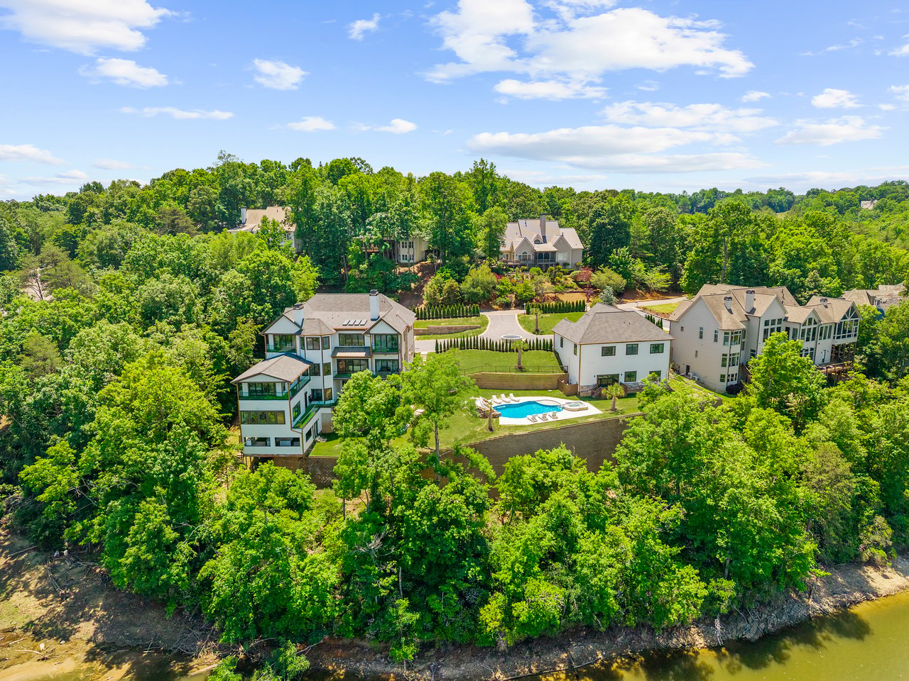
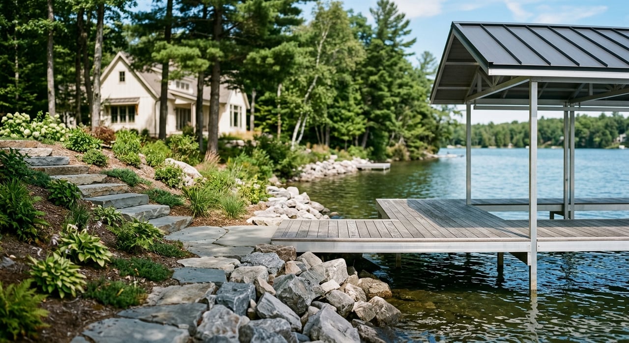
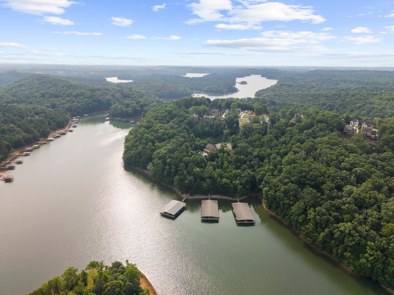
Lake Lanier's 692 miles of shoreline offer much more than just deep-water docks and sunset cruises. Trails here aren't concentrated in one single zone but spread across the north, mid, and south lake access points.
Whether you are looking for a brisk morning walk, an ADA-accessible woodland trail, or scenic lake overlooks, the parks surrounding Lake Lanier provide diverse options for every fitness level.
Lake Lanier Hiking Trails Quick Reference Matrix
Side-by-side comparison of primary trail networks, distance, difficulty, highlights, and parking requirements.
Trail Name & Location | Distance & Surface | Difficulty Rating | Primary Key Features | Parking & Pass Rules |
|---|---|---|---|---|
Laurel Ridge Trail (Buford Dam) | 3.8-mile loop / Natural surface | Moderate | Dam overlooks, powerhouse vistas, Chattahoochee River views | Free access at Lower Overlook Park |
Buford Dam Trail (Lower Pool) | 1.0-mile / Level natural surface | Easy | Walks beneath the saddleback dam structure | Free parking at Lower Pool Park |
Little Ridge Park Trail | 1.5-mile loop / Dirt path | Easy | Dog-friendly, sandy beach access, open water views | Free parking; USACE day-use park |
Woodland Loop (Don Carter State Park) | 1.0-mile / Paved asphalt | Easy (ADA Accessible) | Family-friendly, forest canopy walks | $5 GA State Parks Pass required |
Terrapin Cove Trail (Don Carter) | 1.5-mile / Natural surface | Easy to Moderate | Walk-in campsites and secluded lake coves | $5 GA State Parks Pass required |
Linwood Nature Preserve (Gainesville) | 2.0+ miles / Dirt & boardwalk | Easy | Oak-hickory forests, prairie habitats, urban convenience | Free city park parking |
Indian Seats Trail (Sawnee Mountain) | 3.5-mile loop / Rocky climb | Strenuous / Challenging | Panoramic Blue Ridge & Lake Lanier mountain vistas | Free county preserve parking |
Want Direct Trail Access from Your Backyard?
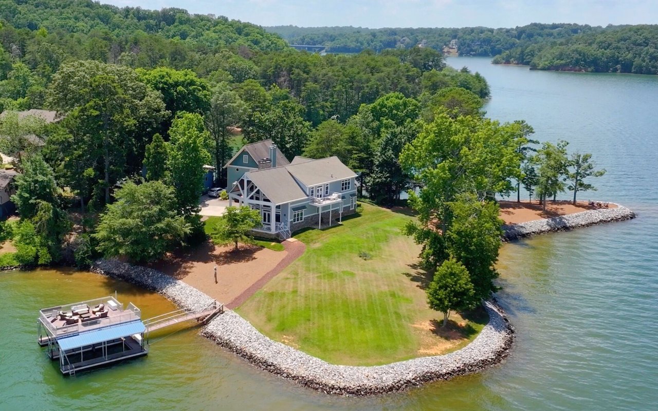
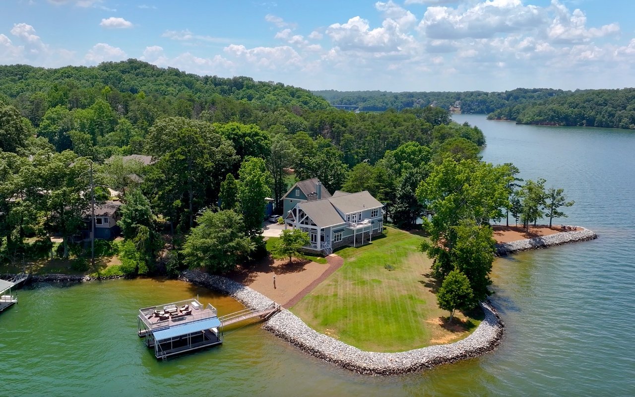
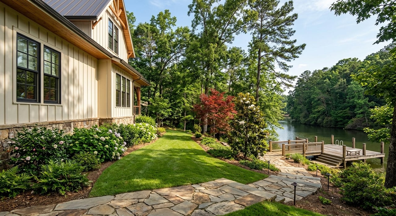
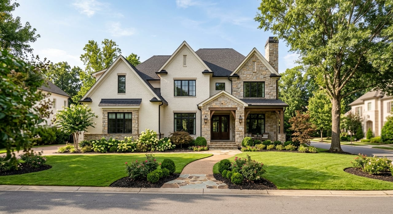
Living near USACE parkland or city nature preserves offers incredible lifestyle benefits. Teresa Smith and the Living on Lake Lanier team help buyers locate properties adjacent to parks and greenways.
Scenic Overlooks at Buford Dam & South Lake
The southern end of the lake offers some of the most dramatic terrain for those seeking an elevated hiking experience. The area surrounding Buford Dam yields expansive views of the powerhouse and the original bed of the Chattahoochee River.
Why the Southern Trails Are a Local Favorite
Key trails near Buford Dam and southern Hall/Forsyth counties include:
- Laurel Ridge Trail: A 3.8-mile loop winding through several park areas, offering hikers views of the dam and the emerald waters of the lake.
- Buford Dam Trail: A shorter, one-mile level walk through Lower Pool Park, perfect for a brisk morning session beneath the massive saddleback dam structure.
- Lower Overlook Park: Provides a convenient, free access point to these trail systems, making it a staple for residents of nearby Buford and Sugar Hill.
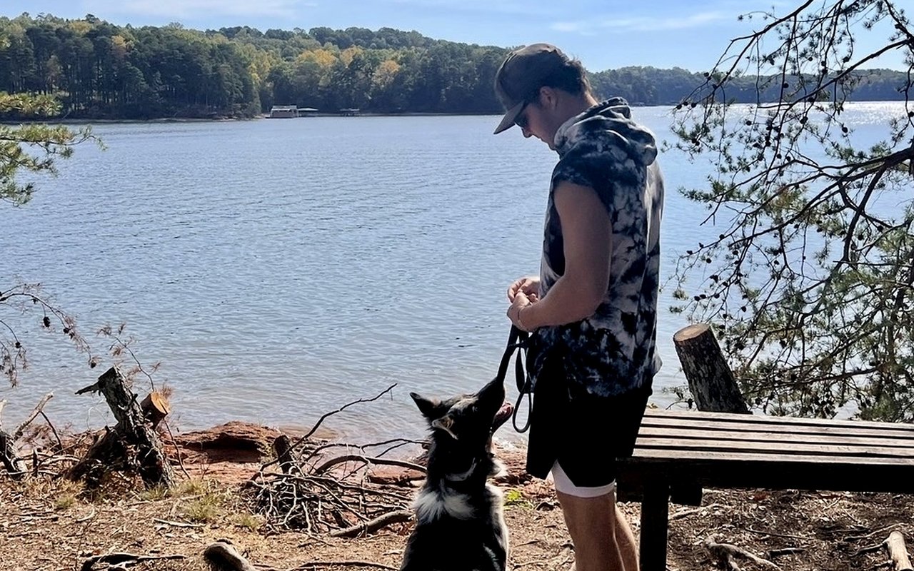
- Little Ridge Park: Dog-friendly with easy parking, sandy beaches, and sweeping lake views.
Exploring Don Carter State Park & North Lake
At the northern end of the lake, the atmosphere shifts toward a more secluded and rugged environment. Don Carter State Park, the newest addition to Georgia's state park system, offers an expansive network of trails for hikers, bikers, and equestrians.
Don Carter Trail Network Highlights
- Woodland Loop: A one-mile paved trail ideal for families with strollers or for those looking for a gentle, ADA-accessible walk through the forest.
- Terrapin Cove Trail: Offers a natural-surface experience leading hikers to walk-in campsites and secluded coves miles from city bustle.
- Dog Creek Outer Loop: A mixed-use path where hikers share the trail with horseback riders, winding through floodplains and across scenic wooden bridges.
Urban Nature Preserves & Gainesville Waterfront Walking
For those who prefer to stay close to Gainesville's amenities, the city offers unique "urban forests" providing instant access to nature minutes from local neighborhoods.
Nature-Focused Walking in Gainesville
- Linwood Nature Preserve: Features over two miles of low-impact walking trails traversing oak-hickory forests and prairie ecosystems along the shore.
- Laurel Park: Offers a one-mile paved concrete loop favorite for local joggers and pet owners, providing consistent water views and easy parking.
- Rock Creek Greenway: Connects several city parks to the lake, allowing for an extended trek blending suburban convenience with lakeside beauty.
Related Lake Lanier Lifestyle & Real Estate Guides
About Teresa Smith & Living on Lake Lanier
Teresa Smith, Michele Kaplan, and Mackenzie Scott form the Living on Lake Lanier real estate team (4878 Manhattan Dr NE, Buford GA 30518). They help buyers discover lakefront properties, dock permit rules, and neighborhood trail access across Hall, Forsyth, Dawson, and Gwinnett counties.
Verified Data Point: Lake Lanier's 692 miles of shoreline feature over 40 public USACE parks and greenways, offering year-round trail access for residents and visitors.
Frequently Asked Questions
Where is the best spot for a challenging hike on Lake Lanier?
While most trails on the lake are easy to moderate, the Laurel Ridge Trail offers the best combination of distance and elevation changes. For a truly strenuous experience, Sawnee Mountain Preserve's Indian Seats Trail is just minutes away in Forsyth County.
Are the Lake Lanier hiking trails pet-friendly?
Many trails around Lake Lanier, such as Little Ridge Park and Laurel Park, allow dogs on a 6-foot leash. Always check specific park rules before visiting.
Do I need a pass to park at Lake Lanier trailheads?
Don Carter State Park requires a $5 daily Georgia State Parks pass. Many Army Corps of Engineers parks (like Lower Overlook) and Gainesville city parks offer free parking for hikers.
Contact Living on Lake Lanier Today
Finding a home that balances luxury and adventure requires a team that lives the lake lifestyle every day. Partner with Teresa Smith to explore Lake Lanier real estate.
Source Notes: Trail lengths, surface specifications, and park fee structures verified via Georgia DNR State Parks, U.S. Army Corps of Engineers Savannah District, and City of Gainesville Parks & Recreation records, current through 2026.